EXECUTIVE SUMMARY
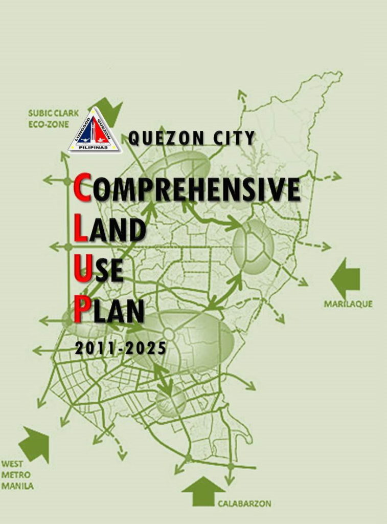
This Comprehensive Land Use Plan is one of the plans which the Local Government Code (RA 7160) directs all local government units to prepare. The city government of Quezon City has come up with this CLUP not only in compliance with the mandate of the Code. More importantly, the City needs this plan to succeed the CLUP 2000 which expired in 2010, in order to have a continuous guide to the management of planned urban growth and change.
Prepared through a process that involved multi-stakeholder participation and extensive consultation, this plan document contains 14 chapters. Each chapter is briefly described below.
Chapter 1 Development Framework situates the planning effort of Quezon City in the national and regional contexts, citing relevant portions of the National Framework for Physical Planning 2001-2030, the National Urban Development and Housing Framework 2009-2016 and Physical Development Framework Plan for Metro Manila 1996-2016. It cites as rationale for revision of CLUP the expiry of said plan in 2010, the significant changes in the land use pattern, and the need to mainstream parameters and considerations in disaster risk reduction and climate change adaptation.
Chapter 2 Land Use & Infrastructure Development Challenges enumerates land use and infrastructure development challenges based on analysis of the pattern of land use changes by comparing two aerial photographs taken in 2003 and 2009. Analysis focuses on changes in the residential, commercial, institutional, industrial and other major uses (heritage/historical and cultural sites) and the trends in the built environment, parks and open space land uses. Included in the land use and infrastructure development challenges facing Quezon City are the issues arising from observed land use changes and risks to natural hazards like floods, earthquakes, increased temperature impacts and human-caused hazard like fire as well as the assessment for each risk.
Chapter 3 The City’s Vision & the National Planning Goals elaborates on the city’s vision to be the knowledge industry capital and center of health and wellness of the country and the green lung for Metro Manila, as well as to remain a desir- able habitat for residents and visitors alike.
Chapter 4 The Long-Term Spatial Strategy describes a long-term spatial strategy that will lead to the realization of the city’s vision. It adopts the multiple growth centers’ strategy in the prede- cessor plan which is most appropriate for the large size of Quezon City. However, the number of growth centers has been reduced from eight in the old plan to five.
Chapter 5 Growth Centers is devoted to detailed land use proposals for each of the five growth centers: the CBD-Knowledge Community district, the Cubao Growth Center, the NGC- Batasan Growth Center, the Novaliches-Lagro Growth Area, and the Balintawak-Mun oz Growth Center.
Chapter 6 The Non-Growth & Special Development Areas contains proposed policies dealing with the “non-growth centers” or the interstices between the growth centers. Non-growth centers consist of four categories: the mature stable areas which do not need any intervention during the plan period; the blighted areas where the property owners have not been investing in improving their structures collectively giving their premises a slum-look; the transitional areas characterized by lands with indeterminate tenure status and substantial number of unutilized or abandoned lots; and special development areas requiring actions necessary to preserve or reclaim their unique and outstanding character.
Chapter 7 The Green Lung Network is devoted to the recovery and conservation of the network of open spaces which must be put under perpetual greenery and protected at all times in order to realize the vision of Quezon City as the “green lung” of Metro Manila.
Chapter 8 The Proposed Circulation Network establishes the circulation network that ties all the areas together and provides the skeletal frame- work for guiding the pattern and direction of the physical growth of the city. The proposed network links the city with other areas in the region as well as between areas with the city’s borders.
Chapter 9 The Land Use Plan describes the demand for land resulting from increasing population and the capacity of the City to absorb the population growth. It likewise explains the allocation of land for various uses and the reasons for such allocation.
Chapter 10 Comprehensive Land Use Policy Framework consolidates all land use policies covering all growth centers and non-growth center areas and classifies these policies under the four policy areas of the National Framework for Physical Planning namely, settlements, production, protection infrastructures land uses.
Chapter 11 Implementing the Comprehensive Land Use Plan spells out the instruments needed to implement the CLUP such as a revised zoning ordinance, basic taxes and special levies on real property, land banking, public investment programming, guided private investments, and co- management arrangements between the city and relevant material government agencies with extensive land-holdings in the city.